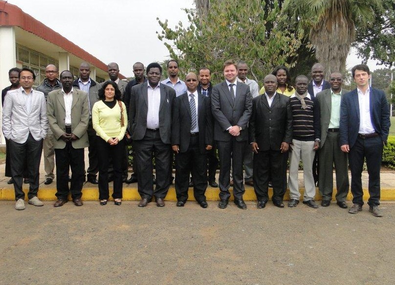
The United Nations Institute for Training and Research (UNITAR) Operational Satellite Applications Programme (UNOSAT), has just completed a two week (10-21 June) training for IGAD Institutions at the Regional Center for Mapping of Resources for Development (RCMRD) in Nairobi, Kenya.

The training on ‘Introduction to Remote Sensing and Field Data Collection Techniques for Disaster Risk Reduction (DRR)’ is part of a wider project on Disaster Risk Reduction Capacity Development in East Africa, which is being funded by the government of Norway. The main objectives of this project are to strengthen technical knowledge and skills on use of Geographic Information Systems (GIS) and Remote Sensing (RS) technologies for DRR, to raise awareness on geo-spatial technologies for DRR and how to use the information for coordination, dissemination and decision making and finally, to improve service delivery and data delivery of IGAD and its partners, by developing a Geo-database and Geo-portal.

