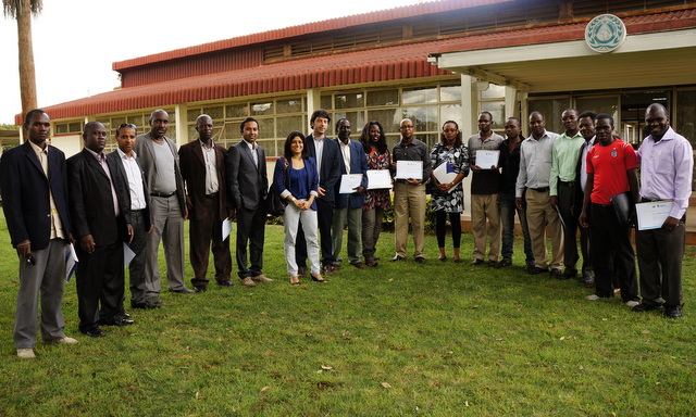
 IGAD and UNOSAT have concluded the first phase of training on Geo-information for Disaster Risk Reduction. In this training, eighteen participants were selected from various IGAD institutions, and trained by staff from UNOSAT on the use of Geographic Information Systems (GIS) at the Regional Center for Mapping Resources for Development (RCMRD).
East Africa is a region facing multiple challenges from natural disasters like drought, flood, earthquake and complex emergencies. Building capacity at regional level to reduce effects of such events is fundamental for sustainable development. Until now, insufficient attention has been put on developing technical capacity across the region for improved knowledge in the use of geo-spatial technologies. Geographic information system (GIS) has proven to be efficient for implementing coherent disaster risk reduction (DRR) activities at regional, national and local scale.
UNOSAT undertook two fact-finding missions to Djibouti and Nairobi to explore needs and interests in improving geo-spatial capacities in support to DRR activities in east Africa. Based on discussions with the Intergovernmental Authority on Development (IGAD) Secretariat, IGAD’s Climate Prediction and Application Centre (ICPAC), IGAD’s Conflict Early Warning and Response Mechanism (CEWARN), IGAD Centre for Pastoralism and Livestock (ICPAL) and other IGAD actors following needs were identified to be addressed within the framework of this capacity development project. This initiative is supported by the Government of Norway.
A number of different technical training courses, awareness-raising events and had-hoc technical support will be delivered throughout the project to strengthen IGAD’s capacities for mainstreaming geospatial information technologies into DRR activities and implementation plans.
